BASINGRID
A 40-year (1985–2024) dataset of aligned meteorological and landscape rasters for 9,067 U.S. basins.
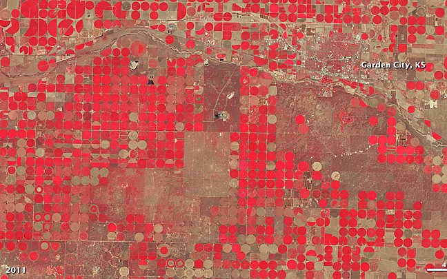
BASINGRID is a distributed, machine-learning-ready hydrology dataset, published in Scientific Data. For each of 9,067 U.S. basins it provides 40 years (1985–2024) of meteorological forcings and landscape attributes as rasters on a common grid, aligned with streamflow records.
Why distributed
Most large-sample hydrology datasets provide only basin-averaged values. BASINGRID keeps the spatial detail, so models such as HydroTransformer and Basin2Vec can learn where in a basin rain falls and how the landscape responds.
Publications
- Sci. Data Journal
BASINGRID: A distributed 40-year spatiotemporal hydrology dataset for U.S. basins
Scientific Data · 2026
@article{talha2026basingrid,
  title = {{BASINGRID}: A distributed 40-year spatiotemporal hydrology dataset for {U.S.} basins},
  author = {Talha, Muhammad and Nejadhashemi, A. Pouyan and Liu, Xiaofeng and Yang, Yuan},
  journal = {Scientific Data},
  year = {2026},
  publisher = {Nature Publishing Group},
  doi = {10.1038/s41597-026-08030-4}
}
Related work
HydroTransformer
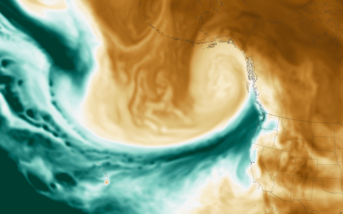
A transformer framework that learns streamflow from distributed, gridded inputs and generalizes across space and time.
Watershed-Agnostic Forecasting
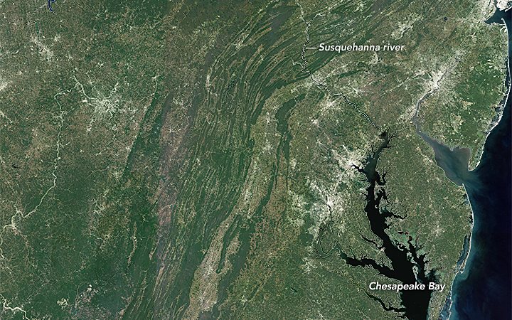
An explainable, distributed CNN–LSTM hydrologic model that is not tied to a single watershed.